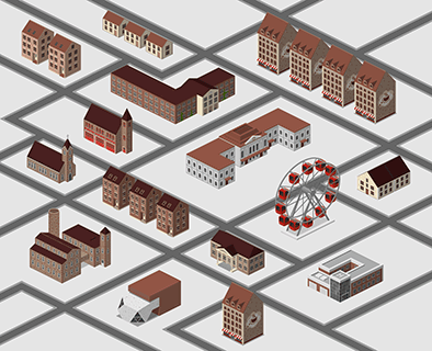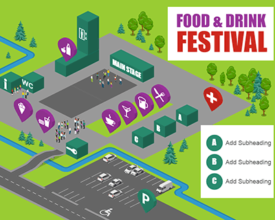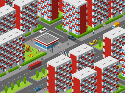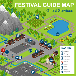

What Is an Interactive SVG Map?
An interactive SVG map turns a static map into an engaging web experience, it looks like a regular vector map, but it reacts to user actions. When someone moves the mouse over a building, booth, room, or landmark, the map can highlight the object. Clicking an element can open additional information, display a photo, show directions, or navigate to another page.
Because SVG is vector-based, your map stays sharp at any zoom level while remaining lightweight and fast. Interactive SVG maps work well on websites, internal portals, educational platforms, and digital kiosks.
What Can Be Interactive?
Almost any object on your map can become interactive. Buildings, roads, parking lots, entrances, event booths, landmarks, transportation stops, points of interest, and other map elements can all respond to user actions.
When visitors move the cursor over an object, it can be highlighted to make it stand out. Clicking on an element can reveal additional information, display photos, open a detailed description, show contact details or opening hours, link to another webpage, launch a booking page, or provide directions. The exact behavior depends on your project's needs, allowing you to create an experience that is both informative and intuitive.
Where Interactive Maps Make a Difference
Interactive maps help people navigate complex spaces with confidence. Instead of searching through long directories or static floor plans, visitors can quickly locate the information they need with just a click or hover.
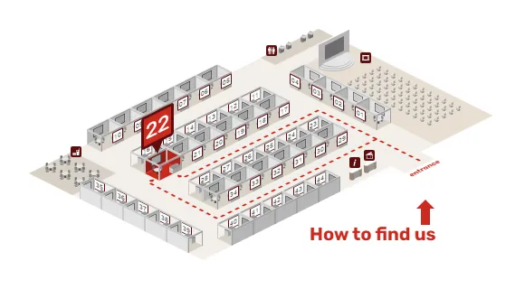
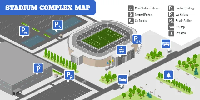
They are especially useful for campuses, schools, universities, hospitals, office buildings, exhibition halls, convention centers, shopping malls, tourist attractions, resorts, industrial facilities, and public parks. Event organizers can use interactive maps to help attendees find stages, exhibitors, food courts, restrooms, parking, and emergency services. Educational institutions can guide students and visitors to classrooms, departments, libraries, and sports facilities. Businesses can make it easier for employees and guests to locate meeting rooms, offices, and amenities, while hospitals can simplify navigation to departments, entrances, pharmacies, and waiting areas.
Any place with multiple buildings, rooms, or points of interest can benefit from an interactive map. By presenting information only when users need it, interactive maps create a cleaner interface, improve navigation, and provide a more engaging experience than traditional static maps.
Benefits of Interactive SVG Maps
Interactive SVG maps make it easier for people to explore and understand complex spaces. Instead of overwhelming users with too much information at once, they reveal details only when needed through simple hover or click interactions. This creates a cleaner interface, improves navigation, and helps visitors quickly find buildings, rooms, services, or points of interest. Because SVG graphics are vector-based, maps remain sharp at any screen size while loading quickly in modern web browsers. Interactive maps are also easy to update as locations change, making them a practical long-term solution for campuses, events, offices, hospitals, and many other environments.
How to Get an Interactive Map
Getting started is simple. First, create your map in Icograms Designer just as you normally would. Add buildings, roads, icons, labels, parking areas, or any custom graphics your project requires. Before exporting, group the objects that should be interactive to make it easier for us to identify them. Once your design is complete, export it as an SVG file and contact us.
Our team will add the interactive functionality while preserving the original design. We can implement features such as hover effects, clickable objects, information panels, links, and other custom interactions based on your requirements. Once completed, you'll receive an interactive SVG map that can be embedded directly into your website or web application.
Join Our Early Access Program
Interactive Maps is a new Icograms feature, and we're currently exploring the best way to bring this functionality into Icograms. Every project is a little different, so we're working closely with early users to better understand which interactive features are the most valuable and how the editing experience should work in the future.
If you already have a map created in Icograms Designer, we'd love to hear from you. Simply export your map as an SVG and contact us. During this early access period, we may add interactivity for a small symbolic fee or even for free in exchange for your feedback. Your ideas and real-world use cases will help shape the future of Interactive Maps and influence which features become part of Icograms Designer.